
Radares da Amazônia - SIPAM
by Serviços e Informações do Brasil
🗂️ Weather
Features Radares da Amazônia - SIPAM
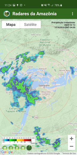
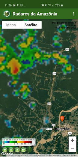
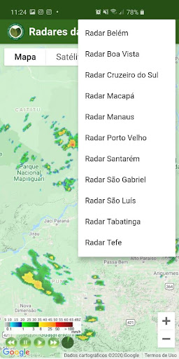
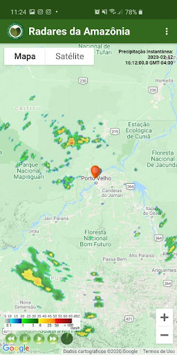
The “Radares da Amazônia” application allows you to view, in real time, radar images of the main cities in the Amazon.With the tool, the user can see the movement of cloud formations in real time.The application “Radares da Amazônia” brings an animation of the last five images of the radar, providing a better understanding of the advance of the weather conditions.Using the users GPS, it is possible to know if the rain is coming your way.The user can choose the radar coverage radius and use satellite images in the background, providing a better geolocation of the rains.The radars have a 250km radius and are located in 10 municipalities in the Legal Amazon: Boa Vista (RR)Cruzeiro do Sul (AC)Macapá (AP)Manaus (AM)Porto Velho (RO)Santarém (PA);São Gabriel da Cachoeira (AM)Sao Luis (MA)Tabatinga (AM)Tefé (AM).The “Radares da Amazônia” application is an official product of the Management and Operational Center of the Amazon Protection System (Censipam).
Secure & Private
Your data is protected with industry-leading security protocols.
24/7 Support
Our dedicated support team is always ready to help you.
Personalization
Customize the app to match your preferences and workflow.
See the Radares da Amazônia - SIPAM in Action
Get the App Today
Available for Android 8.0 and above